Tsunami Alert After 7.7 Magnitude Earthquake in Southern Philippines
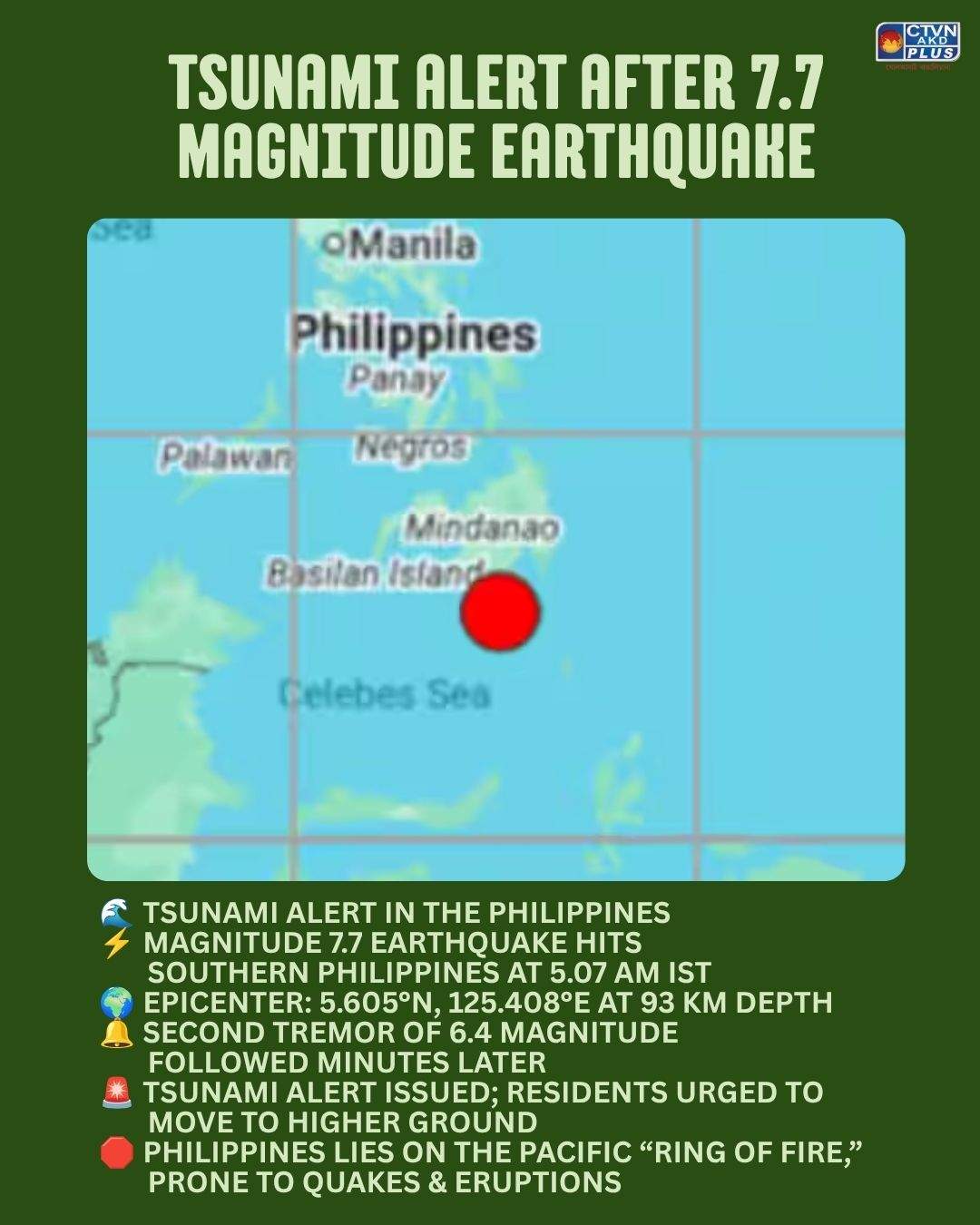
A powerful earthquake measuring 7.7 on the Richter Scale struck the southern Philippines early Monday morning, prompting a tsunami alert across the region. According to the National Centre for Seismology (NCS), the quake occurred at 5.07 am IST at a depth of 93 kilometers, with its epicenter located at 5.605°N latitude and 125.408°E longitude.
Minutes later, a second tremor of magnitude 6.4 followed at 5.18 am IST, at a depth of 79 kilometers, intensifying fears of aftershocks and potential tsunami waves. Authorities immediately issued warnings, urging coastal residents to remain vigilant and move to higher ground.
The Philippines, situated along the Pacific “Ring of Fire,” is highly vulnerable to seismic activity. The region frequently experiences earthquakes and volcanic eruptions due to tectonic plate movements. The latest quake underscores the persistent risks faced by communities in southern Mindanao and nearby islands.
Emergency services are closely monitoring the situation, while regional governments have activated disaster response protocols. The issuance of a tsunami alert highlights the seriousness of the threat, though officials stressed that preparedness and swift evacuation remain the most effective safeguards against loss of life.
This event serves as a reminder of the importance of resilient infrastructure, early warning systems, and community awareness in mitigating the impact of natural disasters in one of the world’s most seismically active zones.
#PhilippinesEarthquake #TsunamiAlert #RingOfFire #NaturalDisaster #SeismicActivity #EarthquakeNews #DisasterPreparedness #Mindanao #GlobalNews