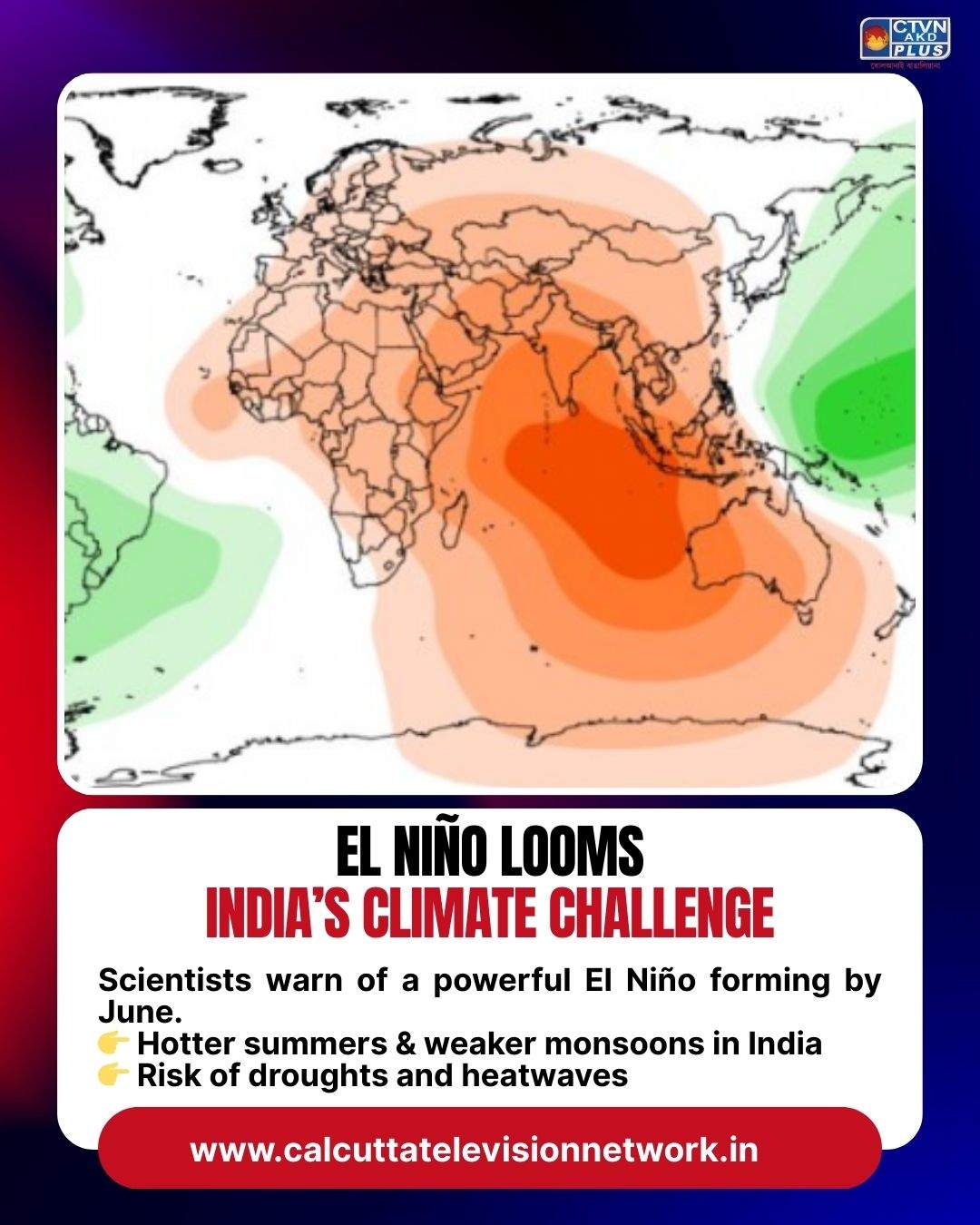
El Niño Looms: India’s Diplomatic and Climate Challenge
Climate scientists are warning that the planet may soon enter a powerful El Niño phase, potentially one of the strongest in recent decades. Forecasts from the European Centre for Medium-Range Weather Forecasts suggest ocean and atmospheric signals could fully align by June, triggering a “super El Niño” event. Such a development would reshape global weather patterns, push temperatures to record highs, and bring unusual monsoon behavior to India.
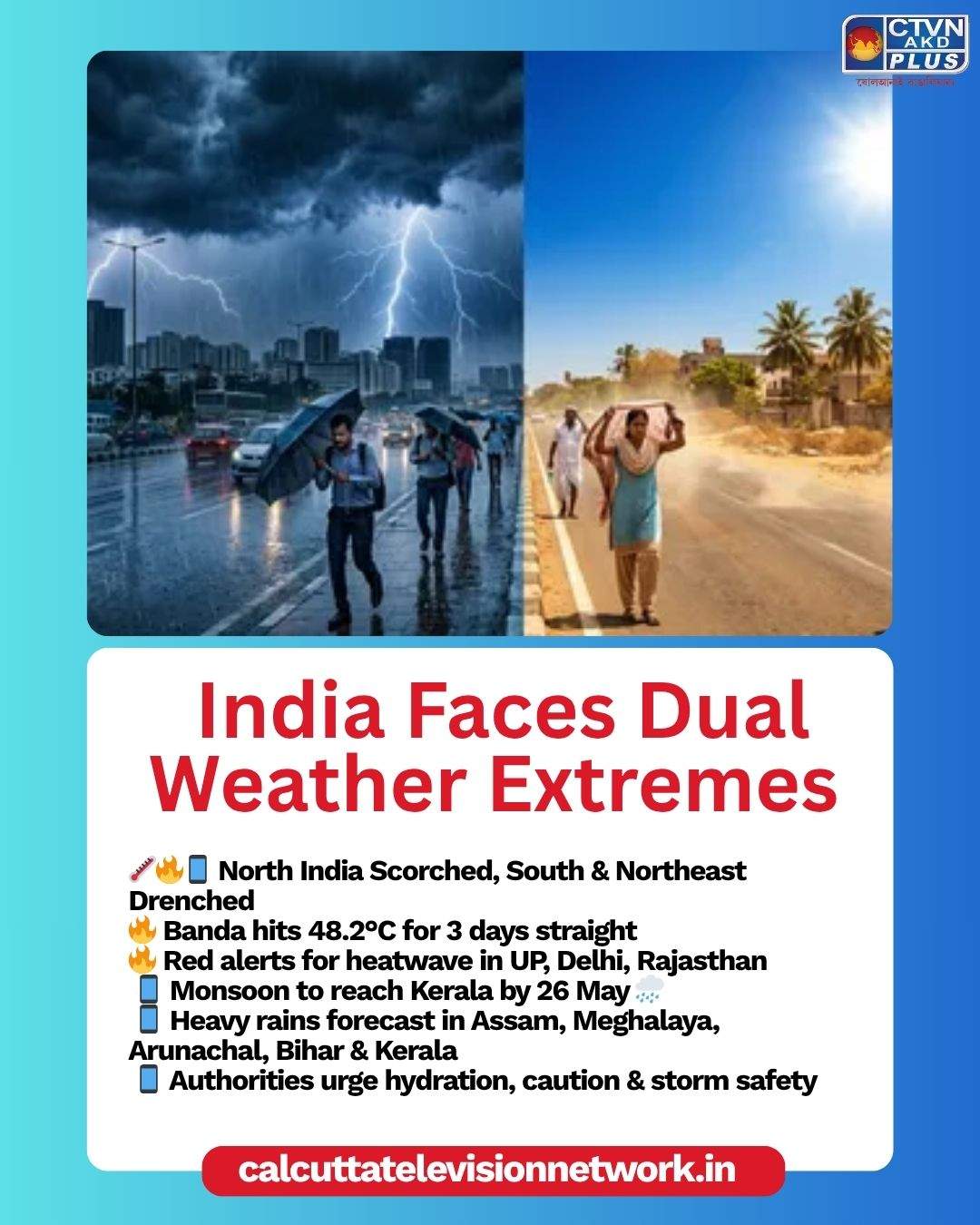
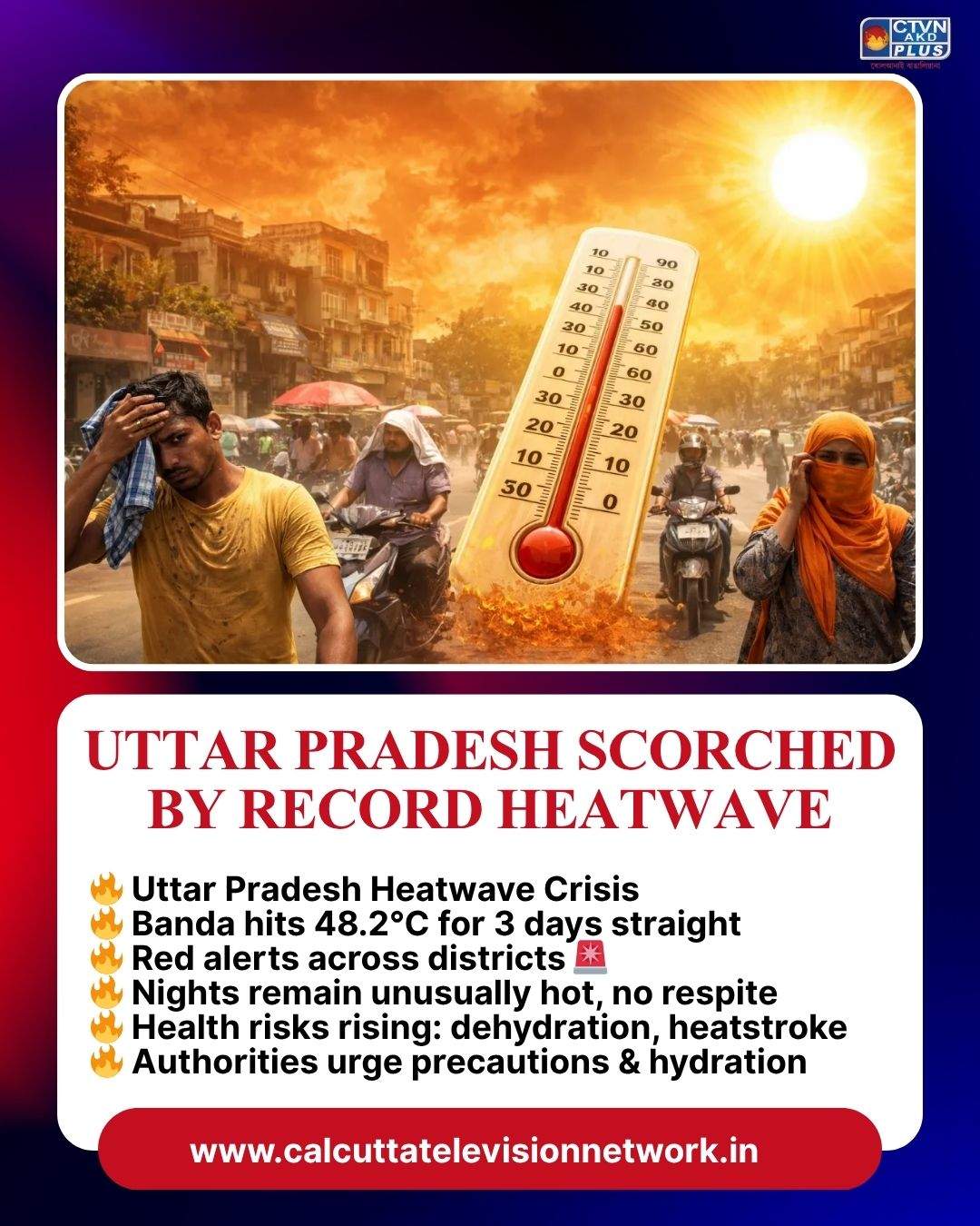
El Niño occurs when sea surface temperatures in the central and eastern Pacific Ocean warm significantly, weakening trade winds and altering atmospheric circulation. This shift produces heavy rainfall over the Pacific while suppressing rainfall in regions like the Indian Ocean. For India, the consequences are particularly serious: weaker monsoon winds, hotter summers, and increased risk of rainfall deficits. Historically, El Niño years have been linked to droughts, agricultural stress, and heatwaves across northern and central India.
The last major El Niño events in 1997–98 and 2015–16 triggered extreme weather worldwide and temporarily boosted global warming levels. Scientists caution that the developing pattern now shows “classic” El Niño signals, raising concerns about its intensity. Beyond India, the Atlantic may see suppressed hurricane activity, while the western Pacific could experience more typhoons.
For India, the challenge is twofold: managing domestic impacts while engaging diplomatically on global climate resilience. As one of the most vulnerable nations to monsoon variability, India must prepare for agricultural disruptions and energy demands from heatwaves. At the same time, it has an opportunity to lead international cooperation on climate adaptation, food security, and disaster preparedness.
If the forecasted El Niño strengthens, India’s ability to balance domestic resilience with global climate diplomacy will be critical in navigating the months ahead.